Stretching from tropical northern desert through temperate pampas grasslands to the sub-Antarctic south, and rising from sea level to some of the world’s highest peaks, via alpine lakes and continental glaciers, the geography of Argentina is vast and varied. This incredible country promises visitors outdoor adventure and a rich natural and cultural experience that needs to be seen to be believed. Read on to learn more about the geography of this bucket list destination.
Overview
Argentina, the eighth largest country in the world, occupies most of the southern part of South America. To the west, the towering Andes Mountains form a natural border with Chile, while the roaring Atlantic Ocean lies to the east. In the north, the country shares boundaries with Bolivia, Paraguay, Brazil and Uruguay. Argentina also claims a portion of Antarctica, as well as several islands in the South Atlantic, including the British-ruled Falkland Islands (Islas Malvinas). The geography of Argentina can be grouped into four major regions: the Pampas, the North, the Andes and Patagonia in the south.
The Pampas
The breath-taking Argentine Pampas covers 295,000 square miles from the Atlantic coast near the Buenos Aires’ border all the way to the Andean foothills in the northwest of the country. Buenos Aires Province’s easterly pampas are lush, green and vulnerable to flooding, whereas rainfall diminishes as the landscape stretches westward into Córdoba and La Pampa Provinces, where it is nearly desert. On the bank of the Río de la Plata, the capital city of Buenos Aires sits atop the coastal margin of the flat, fertile, sedimentary pampas, whose beef and grain exports made Argentina a wealthy country throughout much of the 19th and 20th centuries. In addition to offering a taste of cowboy life on sprawling estancias, activities in this region will satisfy nature lovers, culinary connoisseurs, culture enthusiasts and history buffs alike. Visitors can enjoy riding, fishing and walking, or simply spend some quality time admiring the natural backdrops and tasting the incredible local fare.
The North
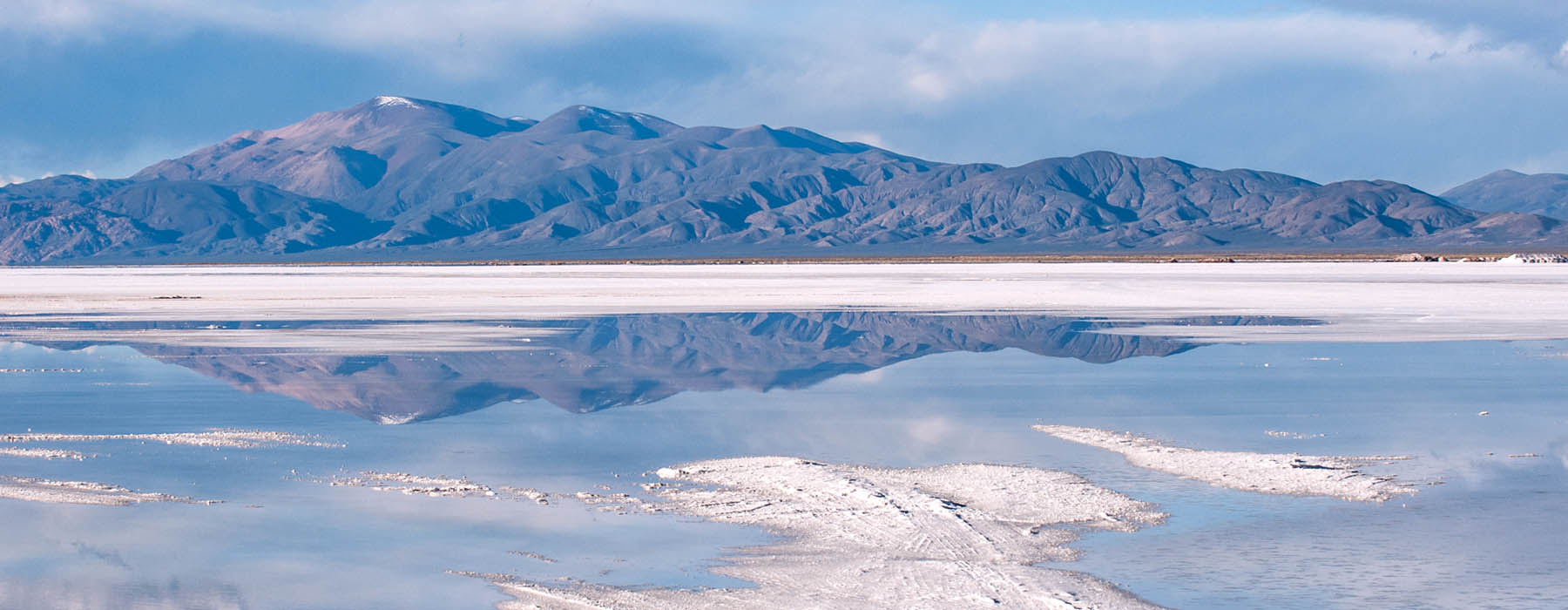
This area includes the Gran Chaco - a semi-arid, flat region to the west - and Mesopotamia’s hot and humid rainforest region to the east. The latter, encompassing the provinces of Misiones, Entre Ríos and Corrientes, has a sub-tropical climate and is the country’s wettest region. It’s home to one of the planet’s most spectacular natural wonders – Iguacu Falls. The world’s largest waterfall system stretches between Argentina and Brazil and boasts 275 separate cascades, with heights varying from 196ft to 269ft (taller than Niagara Falls and twice as wide). The Iberá Wetlands are also part of the rainforest region, comprising 5,000 square miles of marshland with lakes, lagoons and swamps. In stark contrast, the Gran Chaco is characterised by largely uninhabited stretches of savanna. Here, the high plateau of the Puna de Atacama is blessed with snow-capped volcanoes, deep red canyons, vast salt flats and otherworldly rock formations. While Northern Argentina is one of the least explored areas of the country, geographically it’s undoubtedly one of the most rewarding to visit.
The Andes
The rugged Andean region extends some 2,300 miles along the western edge of the country from Bolivia to southern Patagonia. It’s home to the highest point in the Western Hemisphere – Mount Aconcagua’s 22,841ft summit. The towering peak sits just west of Mendoza – Argentina’s wine capital known for its restaurants, shops and historical sites. In some parts of the Andean northwest the annual average temperature tops 20°C, versus higher-elevation areas where average temperatures hover below 10°C. Although often warm in the daytime, it’s cold at night (a key factor in making the famous Malbec wine). Alongside opportunities to sit back and soak up the dramatic scenery, the Andes offer adrenaline rushes aplenty, providing a backdrop for some of Argentina’s most thrilling experiences including trekking, bungee jumping, ziplining and paragliding.
Patagonia
Patagonia is the cool, parched, windy region that extends some 1,200 miles south of the Pampas to the tip of South America. Including the provinces of Chubut, Neuquén, Río Negro, Santa Cruz and Tierra del Fuego, Patagonia descends in a series of broad, flat steps towards to the Atlantic coast. This vast landscape encompasses prairie and high desert stretching as far as the eye can see, plus gin-clear alpine lakes, forests and jagged mountain ranges containing glaciers that spill into the sea. The region is cut by east-flowing rivers – some of glacial origin – that have carved broad valleys and steep-walled canyons. Patagonia is also home to extraordinary wildlife, including penguins, rhea (a large, flightless bird related to ostrich), elephant seals, whales and guanacos (relatives of llamas). This remote region proves to be a paradise for nature-lovers, adventure-seekers and photographers alike. Visitors can cruise along Ruta 40, enjoy wildlife-watching on Península Valdés, go trekking in Los Glaciares National Park and marvel at Perito Merino – one of the world’s few advancing glaciers. Patagonia has it all.
As a country that’s home to some of the world’s most spectacular natural attractions, it’s no surprise that the geography of Argentina attracts intrepid travellers seeking epic adventures. If that sounds like you, our expert team are on hand to help design your trip of a lifetime.


